

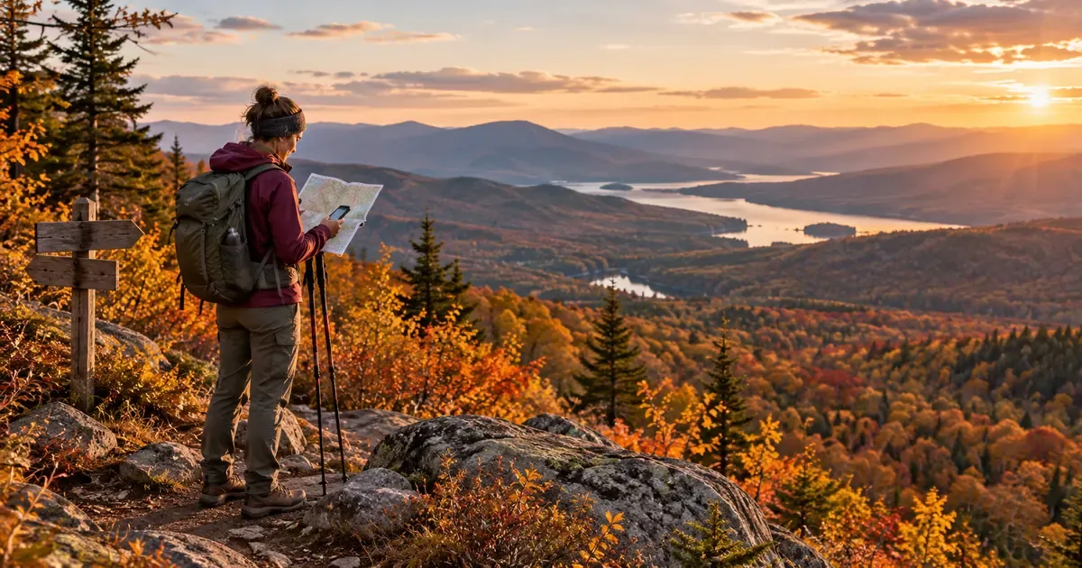
How to Plan an Autumn Day Hike: Six Decisions Beyond Distance
Autumn day hike planning: assess elevation gain, descent, trail conditions, mountain weather, daylight budgets, group pace and turnaround decisions.
Evidence 5 cited sources
On this page
Autumn makes many day hikes feel easier. The air is cooler, exposed stretches can be more comfortable, and the forest often looks better than it did in midsummer. It is also a season when I pay closer attention to terrain and timing.
A cool forecast does not mean an easy route. Six or eight kilometers on a phone screen do not tell you how hard the descent will be. A sunny morning does not guarantee a dry forest floor. If you discover halfway through the day that the downhill trail is loose rock, the light is fading and one person is moving much more slowly than expected, you have already spent much of your flexibility.
I spent three days around Wanfenglin in Xingyi, running or cycling in the mornings, and also visited Malinghe Gorge and Wanfeng Lake. On another trip I walked around Weining’s Caohai wetland and photographed birds. None of that constitutes a technical mountaineering expedition, and I would not present it as one. It does, however, make the changes in wind, light, ground conditions and pace less abstract.
For an ordinary autumn day hike, these are the six judgments I would make before deciding that a route is suitable.
1. Route difficulty is not the same as distance
“8 km, approximately 4 hours” is a starting point, not a trip plan.
An eight-kilometer managed path with a gradual grade is very different from an eight-kilometer trail with continuous elevation change and loose rock. I assess at least four things: total distance, cumulative ascent and descent, the worst surface or exposed section, and whether there are known turnaround or exit points.
Descent is often underestimated. People respect the climb and assume that getting down will be the easy part. A sustained downhill taxes the legs differently, and tired knees or ankles do not improve your footing on wet steps, roots or loose gravel. Sometimes the return takes longer than the approach.
For route research, start with the land manager’s current notices. Then cross-check recent condition reports, topographic maps and GPX tracks. A track uploaded by another hiker may help explain where a route goes, but it is not proof that the trail is open, the crossing is intact or you are permitted to enter.
On an unfamiliar day hike I prefer a clearly marked, legally accessible trail with a reliable start and finish, and reasonable options to turn around or exit early. A shorter route with multiple ways to finish safely can be a better experience than a longer route with one difficult commitment point.
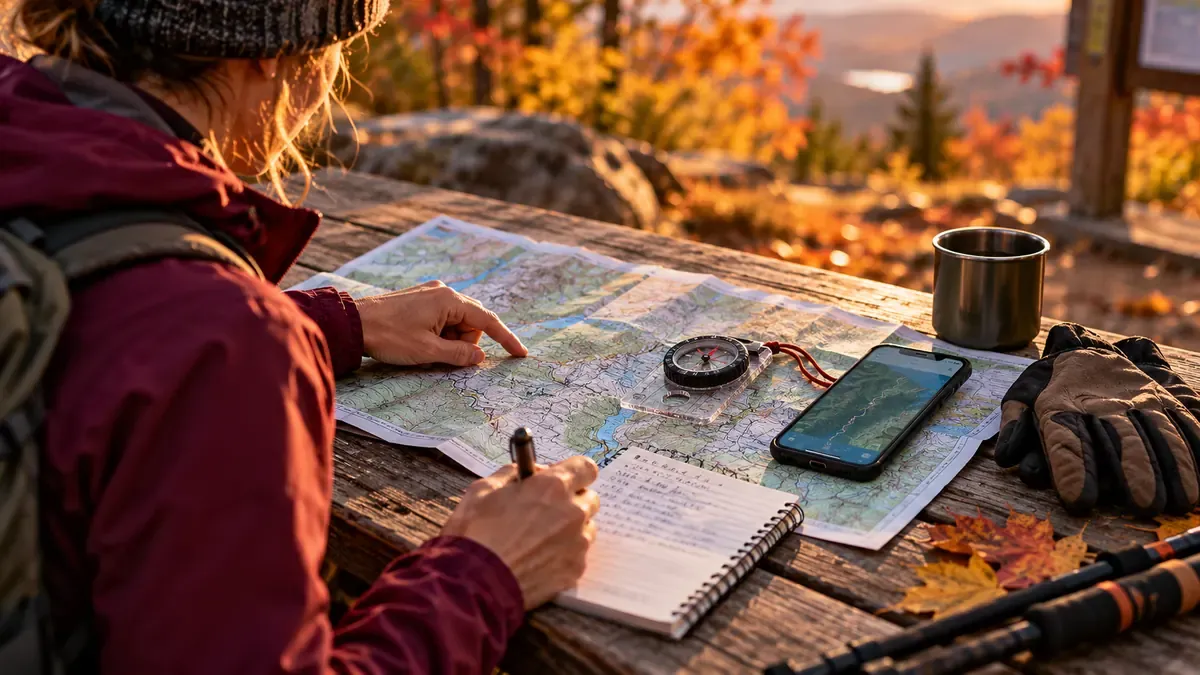
2. Weather only makes sense when you relate it to the terrain
“Sunny intervals” is not enough to assess a mountain route. The useful question is: which weather condition becomes dangerous at which part of this trail?
On an exposed ridge, wind, visibility and thunderstorms may dominate the decision. Under forest cover, cold conditions and wet roots or steps matter. In a gorge or creek bed, rainfall upstream and changes in water level may affect safe passage even if it is dry at the trailhead.
My highland experience at Caohai is a reminder that wind, sunlight and temperature changes can quickly alter the pace of an otherwise ordinary outing. That experience is not a substitute for a route-specific forecast.
I prefer to review conditions at three points: the day before, immediately before starting, and periodically along the route. Check management notices, recent rainfall, local alerts and forecast timing. On the trail, watch for changes in wind, cloud, visibility, temperature and surface conditions. Do not use yesterday’s screenshot to argue that conditions “should still be fine.”
If an official closure is in effect, or thunderstorm, flash-flood or landslide risk materially affects the intended terrain, cancel or change the plan rather than seeking an unofficial bypass. The US National Weather Service states that thunder is a sign of lightning danger; substantial enclosed buildings and hard-topped vehicles provide meaningful shelter, while exposed ridges and isolated trees do not. There is no completely safe outdoor location during a lightning storm.
3. Calculate your turnaround time backwards
One of the easiest mistakes in day-hike planning is to calculate the outward trip and treat the return as automatic.
I begin with three times: the actual sunset at the destination, my target arrival at a genuinely safe exit, and a conservative estimate of how long the return leg will take. The turnaround time follows from those constraints. A safe exit means a confirmed, authorized trailhead, managed exit or planned transport pickup point—not an arbitrary shortcut on a map.
For a hypothetical example, assume sunset is 5:30 p.m. On a wooded trail I might aim to be out by 4:30 p.m., while there is still useful daylight. If the conservative return estimate is two hours, the planned latest turnaround is 2:30 p.m. Those numbers are illustrative, not an actual sunset for a named location and not a universal safety standard. An earlier closure time, incoming weather or a slower group would make the deadline earlier.
The return estimate should never be copied from someone else’s fastest activity recording. Surface, accumulated descent, breaks, route-finding and group speed all matter. Technical downhill terrain can take longer than the ascent. A headlamp is essential contingency equipment, but it should not become an excuse to deliberately schedule a casual day hike after dark.
The US National Park Service likewise emphasizes tracking the full outward-and-return trip, setting a turnaround time, and following it.
4. Plan for the group’s real pace, not its average fitness
A solo hike and a group hike involve different decisions.
The challenge in a group is variation: one hiker climbs quickly but descends slowly; another is chilled after stopping to take photographs; someone else may be reluctant to admit that their feet hurt.
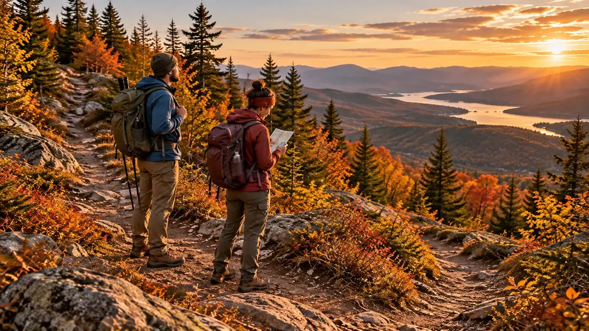
Before leaving, I would make three things explicit: who manages navigation at junctions, what the latest turnaround is, and that any person can ask the group to reassess and shorten the route when their condition deteriorates. Nobody should have to prove that they are “unfit enough” to justify caution.
During the walk, pay attention to more than distance and pace. Sustained slowing, repeated stumbling, poor coordination, unusual cold or clear changes in mental state warrant stopping and reassessing. Serious or worsening symptoms require an appropriate emergency response, not another push toward the viewpoint.
NPS guidance recommends allowing the slowest hiker to set the group pace and staying together. In practice, that means regrouping at junctions, checking everyone before committing to a difficult section, and not discovering at the summit that half the party is still searching for the trail below. If a group intentionally splits, separate leaders, routes, communications and meeting points need to be planned—not improvised.
5. Gear should first address navigation errors, exposure and delays
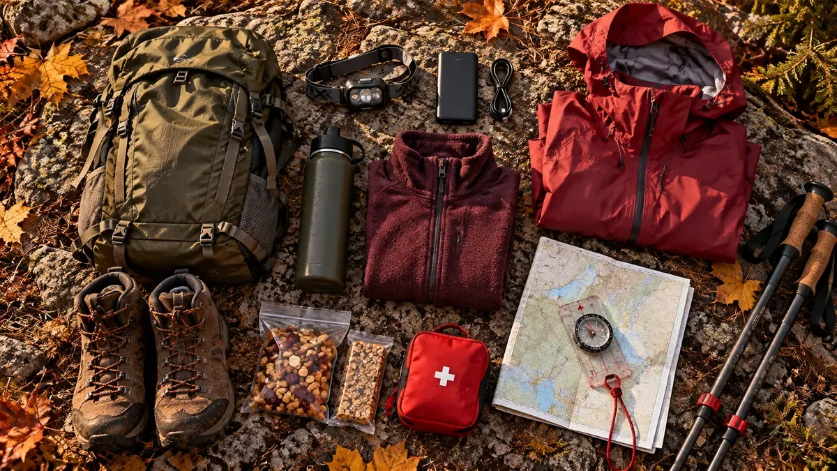
It is easy to buy more gear than a day hike needs. I would rather ask one hard question: if the group is delayed, the weather changes or someone is hurt, do we have what we need to reduce the consequences?
| Problem to plan for | Equipment or preparation |
|---|---|
| Navigation error | Usable offline maps and navigation skills; physical map and compass when appropriate |
| Unexpected darkness | Headlamp and reliable spare power, independent of a phone flashlight |
| Wind, rain and loss of warmth during a stop | Suitable insulation, rain and wind protection, and emergency shelter for remote terrain |
| Blisters, injury or gear damage | First aid, personal medication, essential repair items and knowledge of when to seek help |
| Longer-than-planned day | Sufficient water, food and a sensible reserve based on the environment |
| Poor communication or need for rescue | Charged phone, backup battery, local emergency contacts and satellite communication where warranted |
This follows the purpose of the Ten Essentials promoted by The Mountaineers and the National Park Service: navigation, illumination, sun protection, first aid, repair equipment, appropriate fire capability, emergency shelter, extra food, water and clothing. The exact items and quantities still depend on conditions, remoteness, regulations and skills. A fire-making item does not override restrictions on open fires.
Trekking poles, camera equipment and premium clothing should be considered after the functional requirements. Good footing for the actual surface matters more than a label. Extra equipment that slows down the group should have a clear purpose.
6. Agree on retreat conditions before the view gets tempting
It is harder to abandon a goal on the trail than it is to say “safety first” at home. One more bend, another ten minutes, a bit of rain that might stop—each excuse sounds harmless on its own.
Make the response to common changes explicit before the trip:
| Change on the route | Decision |
|---|---|
| Closure, unauthorized access, or a material thunderstorm, flood or landslide hazard | Stop or cancel. Do not bypass restrictions; move toward appropriate shelter if lightning threatens. |
| Return-time budget is no longer sufficient | Stop advancing and begin an authorized, confirmed return while options remain. |
| Navigation differs from the actual trail or communications fail | Pause and relocate carefully. Do not improvise an unknown shortcut; seek assistance if you cannot confirm a safe route. |
| A group member is deteriorating, stumbling repeatedly or injured | Prioritize the person. Adjust or end the trip and contact rescue services when warranted. |
| A final viewpoint would use the remaining return buffer | Skip it. The view is optional; the safe exit is not. |
Retreat does not mean blindly running backwards. If you are lost or in hazardous terrain, stop somewhere relatively safer, avoid unplanned movement, contact local rescue services early, and follow professional instructions.
The outdoor skill worth practicing is ending a route while you still have choices—not waiting until someone else must make the decision for you.
What I would record after getting home
GPS distance and ascent are useful. But for the next route, four observations tell me more: How far did actual timing differ from the plan? Where did climbing or descending slow the group? Which weather or trail condition mattered? Where should the turnaround have been earlier?
A route recommendation is more valuable when it explains when the trail is suitable, what makes it inappropriate for beginners, and which conditions should cancel the outing. “Three stars difficulty, five stars scenery” is a poor substitute.
What I liked about spending time around Xingyi and Weining was that an outdoor day could be unhurried. In hiking, however, being unhurried does not mean being unplanned. It means leaving enough time, energy and exit options to make good decisions.
A successful day hike is not simply the longest route completed. It is a route that is legal and suitable for the group, managed at an appropriate pace, with the return treated as part of the actual outing.
The short pre-hike note I would save
- Route: authorized access; distance; ascent and descent; hardest surface; exits.
- Weather: timed forecast; official alerts; preceding rainfall; wind and visibility on the actual terrain.
- Time: start; sunset; safe-exit arrival target; latest turnaround.
- Group: slowest realistic pace; regrouping rules; agreement to shorten the route.
- Preparedness: navigation, lighting, warmth, first aid, food and water, communications and a trip plan shared with someone at home.
Sources and further reading
This article presents a day-hiking decision framework, not a substitute for local regulations, live forecasts, a qualified guide or rescue instructions.
- China Fire and Rescue: Mountain Hiking Safety Guide
- US National Park Service: Hike Smart
- US National Park Service: Ten Essentials
- The Mountaineers: What Are the Ten Essentials?
- US National Weather Service: Outdoor Lightning Safety
Related XBSTACK articles: Day-Hike EDC · Assessing Lesser-Known Guizhou Trails · Weining Caohai Field Notes · Guanling Canyon Terrain
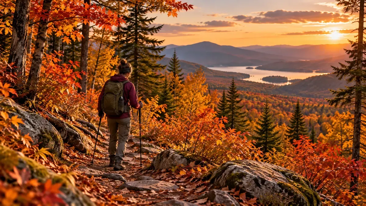
Image note: the cover and inline illustrations were generated with GPT to depict planning, equipment and hiking situations. They are not documentary photographs of a named trail.
Track recovery as carefully as the route itself
Field notes cover access, weather, safety and effort. Lunest extends that evidence into sleep and recovery tracking for developers and outdoor users.
Next step: continue with related field evidence
Full decision path →Follow the next route, condition, gear, or firsthand record that helps make a real decision.

DISCUSSION
Questions, verification and corrections
Sign in to comment. Every new comment is reviewed before publication; while pending, it is visible only to you and the administrator.